- Aplicaciones
- CENTRO DE DATOS MOSA PARTI-MOSA ATLAS CLIC FLOW REDMET CRUCEROS WIKI
- Área usuarios
CHONOS es un sistema de información oceanográfica cuyos productos y aplicaciones son resultado de estudios ambientales que a través de la modelación numérica tienen por objetivo mejorar la gestión y planificación del territorio, así como también, el manejo de contingencias ambientales y sanitarias. <a href="/wiki" style="color: white!important;"> <div style="background-color: dodgerblue; color: white!important; border-radius: 10px; margin:20px;padding: 10px; text-align: center;display: table;"> VER MÁS <span uk-icon="icon: arrow-right" style="border: solid 1px white!important;border-radius: 50%;"></span> </div> </a> El portal CHONOS nace de la necesidad de tener un repositorio de datos de información oceanográfica y meteorológica de uso público e institucional, el cual pueda ayudar en la toma de decisiones con respecto a la actividad de acuicultura u otras. En su conjunto presenta resultados obtenidos de diversos programas financiados por el Ministerio de Economía a través de la Subsecretaría de Pesca, bajo el amparo de la Ley de Pesca y Acuicultura N°18.892.
Conozca más de CHONOS en Wiki-Chonos
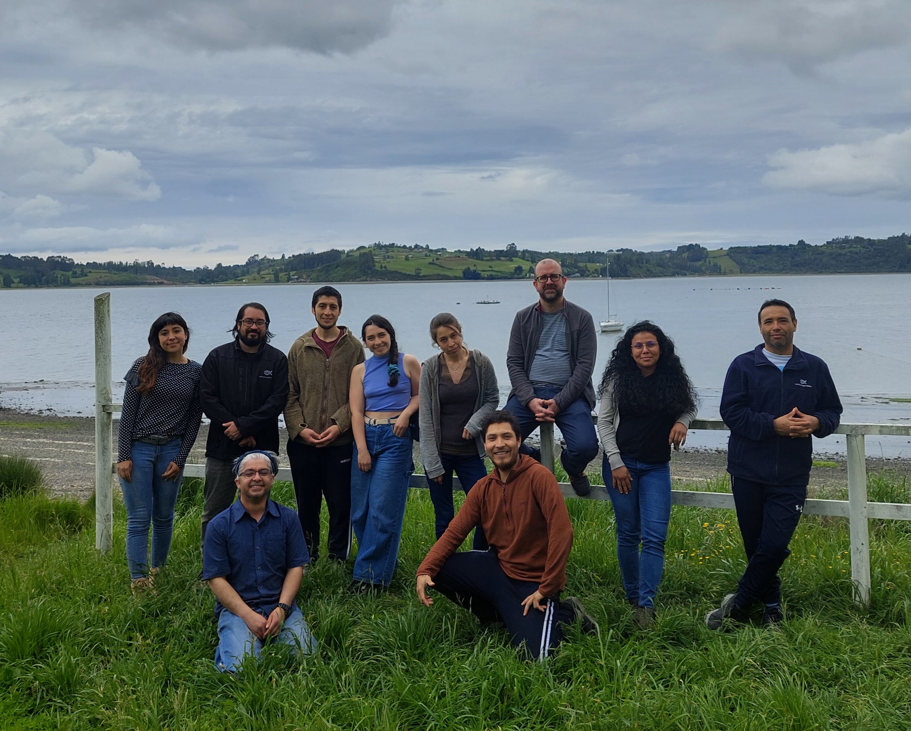
CHONOS es desarrollado por el grupo de Oceanografía y Clima perteneciente al Centro de Investigación en Sistemas Costeros de la Patagonia, con base en Putemún (Castro). El grupo de Oceanografía y Clima de CHONOS está compuesto por profesionales procedentes de distintos ámbitos académicos pero con un enfoque común y motivaciones por la oceanografía de sistemas costeros.
Conozca más del equipo de trabajo en Perfiles Personales


Proyecto Boyas - Visualizador de datos - Versión 1.0
Nueva visualizador del pronóstico MOSA con varias mejoras.
Nueva visualizador del pronóstico MOSA con varias mejoras.
Modelo de pronóstico de dispersión de partículas.
Parti-MOSA es una herramienta Lagrangeana de dispersión de partículas usada para gestión costera ante emergencias ambientales. El objetivo principal de Parti-MOSA es ofrecer a los tomadores de decisiones una herramienta rápida e intuitiva para ser utilizada en eventos que pueden representar un riesgo ambiental potencial, como derrames de petróleo, dispersión de patógenos de salmón como C. rogercresseyi, ISAv o HAB. Parti-MOSA está basado en el código Opendrift (Dagestad et al., 2018). Las partículas liberadas en cada consulta web son inertes, sin masa ni tamaño y sin respuesta a las condiciones ambientales, por lo tanto, son partículas que no se destruyen o mueren al interactuar con diferentes estructuras de densidad, salinidad o temperatura. Estas partículas pueden moverse en la columna vertical de agua en función de las corrientes verticales y la batimetría. Estas trayectorias son calculadas a partir de las corrientes zonales, meridionales y verticales del modelo MOSA-CROCO. El usuario puede escoger entre pronósticos de partículas de 3 o 10 días, el número de partículas, el periodo y profundidad de liberación.
Conozca más de PARTI-MOSA en WIKI PARTI-MOSAInformación oceanográfica histórica basada en modelos numéricos., con interfáz gráfica renovada.
ATLAS es una aplicación que permite explorar un compendio de modelos de información histórica del ambiente marino basado en simulaciones del modelo hidrodinámico MIKE3 FM (DHI, 2019). Este es un modelo cuya malla flexible de elementos triangulares y discretización vertical en capas sigma que siguen el contorno batimétrico (y al que adicionalmente pueden añadirse capas Z) permite un adecuado ajuste de la compleja batimetría y línea de costa de los mares interiores del Sur de Chile. El modelo MIKE 3 FM integra información de descarga de agua dulce mediante el modelo FLOW y forzamiento atmosférico mediante el modelo WRF (Weather Research Forecast). ATLAS permite la exploración de variables directas de la simulación (corrientes, temperatura, salinidad), y otras derivadas de estas (como edad del agua) en forma de promedios horarios o mensuales y de diferentes estadísticas para ofrecer una interacción comprensiva del ambiente físico marino.
Estadísticas y matrices de conectividad de modelos biofísicos
La conectividad Lagrangiana es una medida estadística cuantitativa de la comunicación que se establece entre 2 ó más parcelas de agua a través del transporte de partículas por las corrientes marinas. La conectividad puede calcularse para cuantificar hacia dónde van las partículas (conectividad fuente o downstream) o de dónde proceden (conectividad sumidero o upstream). La información de conectividad está organizada en matrices, las cuales están georreferenciadas en CLIC, de manera que cada elemento de cada matriz se corresponde con una parcela en el mar. Las corrientes que transportan a las partículas se obtienen de modelos numéricos oceanográficos de ATLAS, simulando condiciones pasadas del océano con el objetivo de entender cómo se comportan los sistemas marinos que representan. En CLIC hay disponibles modelos que incluyen diferentes condiciones ambientales y tipos de partículas. Las partículas son caracterizadas en modelos IBM (Individual Based Models) para responder en su comportamiento biológico (maduración, mortalidad, migraciones verticales, etc) o abiótico (degradación, sedimentación, etc) a las condiciones ambientales que encuentren dichas partículas durante su transporte por las corrientes
Conozca más de CLIC en WIKI CLICModelo hidrológico de caudales de alta resolución.
FLOW está basado en el modelo hidrológico VIC (Variable Infiltration Capacity) acoplado al modelo atmosférico WRF (Weather Research Forecast) y a modelos de elevación digital para calcular la escorrentía superficial en las cuencas hidrológicas que vierten directamente al mar del Sur de Chile. FLOW presenta caudales de agua dulce diarios entre 1980 y 2018 en los puntos de descarga de ríos y glaciares en la zona costera entre las regiones de Los Lagos y Magallanes. FLOW presenta esta información bajo el formato de series de tiempo y estadísticos producto de la modelación junto con la información de estaciones en línea de la DGA (Dirección General de Aguas de Chile) para así tener una evaluación del grado de desempeño del modelo. FLOW permite explorar y visualizar estos resultados de manera fácil y amigable.
Red de monitoreo meteorológico en tiempo real.
La red de monitoreo meteorológico se compone de una serie de estaciones meteorológicas que transmiten información en tiempo real de variables atmosféricas como temperatura del aire, dirección e intensidad del viento, precipitación y radiación (entre otras). La disposición y cobertura espacial de las estaciones es diseñada para poder utilizar dicha información ambiental, no solo en la caracterización del medio, sino también en la calibración y validación de los modelos atmosféricos desarrollados por IFOP y principales forzantes atmosféricos de los demás modelos oceanográficos.
Conozca más de REDMET en WIKI REDMETCatalogo virtual de mediciones de campañas oceanográficas.
La base de datos de CRUCEROS compila información de correntometrías, nivel del mar, campo de masas (temperatura y salinidad) y muestras de agua (nutrientes y clorofila) de campañas oceanográficas desde el año 2010 en adelante. Esta información es la base sobre la que se caracteriza el medio marino y sus dinámicas físico-bio-químicas, además de servir de blanco de evaluación para la evaluación del desempeño de los modelos oceanográficos en su calibración y validación. CRUCEROS es un catálogo en línea solo para observar la ubicación y el tipo de información disponible georreferenciada y así identificar de manera fácil con que mediciones se cuenta en diferentes fiordos y canales de la Patagonia.
Biblioteca de información complementaria de CHONOS.
WIKI es una biblioteca que organiza por páginas web la información y documentación complementaria de CHONOS, incluyendo descripciones metodológicas más profundas de cada herramienta, así como información de la oceanografía de la Patagonia chilena, equipo de trabajo, publicaciones y difusión en general del conocimiento derivado del trabajo de investigación que se realiza en CHONOS.
Conozca más de WIKI en WIKI WIKIeran un pueblo originario del sur de Chile, grandes navegantes y conocedores de sus mares. Recuperando ese espíritu, hoy CHONOS provee del último conocimiento de los mares australes al servicio de la sociedad a través de sus aplicaciones.